16th February 2026
Have Your Say on the Groby Parish Neighbourhood Plan
Groby Parish Council agreed the Draft Groby Parish Neighbourhood Plan on 1st December 2026. A consultation period has now opened and will run until 17:00 hours on Monday 20th April 2026.
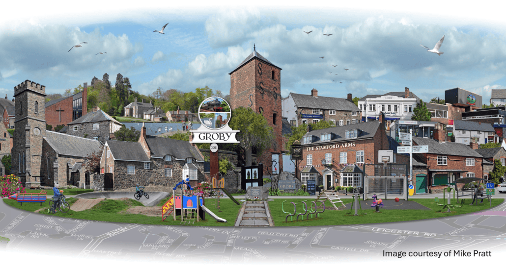
The Groby Parish Neighbourhood Plan will allow people who live, work and have a business in the area to have a say about where they think new houses and businesses should go and what they should look like. The Groby Parish Neighbourhood Plan will be a statutory plan which means that once it has been finalised, it will help decide planning applications in the area. The Plan area includes Groby village, Field Head, Bradgate Hill and part of The Brantings.
To view the Draft Plan please click on the link below; visit Groby Community Library to view a hardcopy; pop into the Parish Council Office (Monday to Friday 10am – 2pm) and collect a hardcopy; come along to our Drop-In Event taking place on Saturday 7th March 2026 between 1 – 4pm at the Parish Council Office.
You can comment on any aspect of the Draft Plan by:
- Email to: clerk@grobyparishcouncil.gov.uk
- Write to: Parish Clerk, Groby Parish Council, Leicester Road, Groby, Leicester, LE6 0DQ
- Complete and return a Representation Form which can be downloaded using the link below or collected from the Council Office
Comments must be returned by no later than 17:00 hours on Monday 20th April 2026
YOUR VIEWS MATTER AND WILL BE TAKEN INTO ACCOUNT
Draft Groby Parish Neighbourhood Plan
Groby Parish Neighbourhood Plan Representation Form
Groby Parish Neighbourhood Plan Consultation Leaflet
View an introduction to the Groby Parish Neighbourhood Plan and explanation of the process which has been followed:
EVIDENCE BASE:
(1) COMMUNITY SURVEY
View the long-form of the results from the Community Survey
View the short-form of the results from the Community Survey
(2) HOUSING SITES ASSESSMENT
The Draft Neighbourhood Plan has not allocated any housing sites however, it does look at the housing provision for Groby Parish contained in the Hinckley & Bosworth Borough Council’s emerging Local Plan and has included mitigating conditions for two sites.
As part of the process the Neighbourhood Plan Advisory Committee carried out a housing sites assessment. The Committee considered where any new housing, if necessary, might be placed within the Parish. Based on identification of several potential housing sites by Hinckley and Bosworth Borough Council, the Advisory Committee applied local knowledge to assess each site against clearly defined criteria. Although none of the sites are ideal, the assessment results point to the ‘least worst’ sites.
View the full results from the Housing Sites Assessment:
Scoring Matrix
Housing Site Profiles
Site Selection Framework
(3) STRATEGIC ENVIRONMENTAL ASSESSMENT (SEA) AND HABITATS REGULATIONS ASSESSMENT (HRA)
Groby Parish Neighbourhood Plan 2023 – 2041: SEA and HRA Screening Report
(4) LOCAL HERITAGE ASSETS
Potential Local Heritage Assets
(5) LOCAL GREEN SPACES ASSESSMENT
- St Philip & St James’ Churchyard
- Stamford Park
- Ratby Road Copse
- Ratby Road Allotments
- Ratby Lane/Launde Road, Field Head
- Quarry Park
- Queen Elizabeth II Park
- Orchard Close Allotments
- Martinshaw Wood
- Marina Park
- Link Rise/Ratby Lane, Field Head
- Leicester Road/Bluebell Drive
- Laundon Way Green
- Highfield Green
- Groby Meadow
- Groby Granite Railway South
- Groby Granite Railway North
- Greys Drive Green
- Foxglove Green
- Flaxfield Green
- Dowry Furlong
- Cowpen Spinney
- Branting Hill Green
- Bluebell Green
- Beacon Field
Attachments
-
 Full Draft Groby Parish Neighbourhood Plan
-
 Groby Parish Neighbourhood Plan Representation Form
-
Groby Parish Neighbourhood Plan Consultation leaflet
-
Groby_NP_SEA_HRA_Screening_Report_July_2024
-
PotentialLocalHeritageAssetsGPNP20260316
-
StPhilipStJamesChurchyard20240824
-
StamfordMemorialPark20240107
-
RatbyRoadCopse20240107
-
RatbyRoadAllotments20240107
-
RatbyLaneLaundeRoad20240107
-
QuarryPark20240114
-
QEIIXCPark20240107
-
OrchardCloseAllotments20240824
-
MartinshawWood20240107
-
MarinaPark20240107
-
LinkRiseRatbyLane20240824
-
LeicesterRoadBluebellDrive20240824
-
LaundonWayGreen20240107
-
HighfieldGreen20240107
-
GrobyMeadow20240107
-
GrobyGraniteRailwaySouth20240107
-
GrobyGraniteRailwayNorth20240107
-
GreysDriveGreen20240107
-
FoxgloveGreen20240824
-
FlaxfieldGreen20240107
-
DowryFurlong20240107
-
CowpenSpinney20240107
-
BrantingHillGreen20240107
-
BluebellGreen20240824
-
BeaconField20240107